Remote Sensing in Biodiversity and Conservation
special session at ISRSE 2015, Berlin – May 11-15
Satellite remote sensing is an important tool for improving our understanding of biodiversity condition and trends, along with drivers of biodiversity change. It is also increasingly a management tool for biodiversity conservation. The first use focuses on basic research for improved knowledge of what drives biodiversity in landscapes and seascapes, as the latter addresses more applied efforts for conservation. Although improved understanding supplies the knowledge base for successful conservation, the different objectives of the research and applied communities often mean that the information flow between these two groups is less than ideal.
We aim to highlight the dual potential of remote sensing for biodiversity research and conservation applications in separate but aligned sessions. These synergistic sessions would increase the linkages between these two communities and also serve to better integrate remote sensing science into the full spectrum of biodiversity research and conservation applications.

Based on experiences at other scientific conferences (e.g. the International Congress for Conservation Biology, the Zoological Society of London symposium on conservation remote sensing) we know that there is strong community interest in these topics.
These sessions will be accompanied by a variety of side-events organised by CEOS Biodiversity, GEO BON, and the Conservation Remote Sensing Network (CRSnet). The sessions would be organised jointly by CEOS Biodiversity, NASA, and DLR.
presenters (oral and poster):
— preliminary list —
-
Jetz et al “Development and use of a new suite of global, remote sensing based environmental layers for biodiversity monitoring and prediction”
- Skidmore et al. “Remote Sensing for Essential Biodiversity Variables”
-
Radeloff et al. “The Dynamic Habitat Index derived from three decades of MODIS and AVHRR data and its relationship to global patterns on mammal species richness”
-
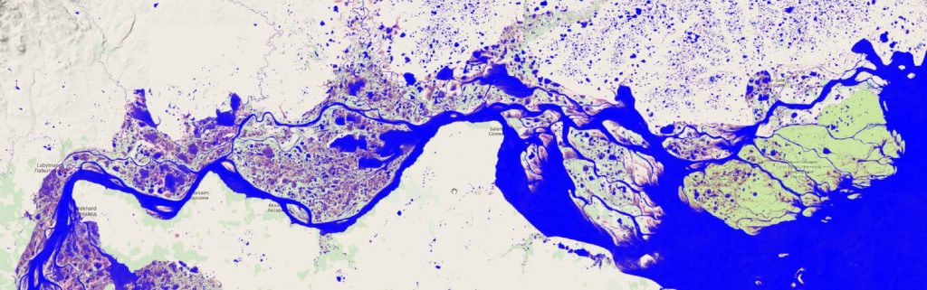
Esch et al. “Tracing anthropogenic pressures on biodiversity in the African Sahelo-Saharan region – a case study for Niger based on radar imagery”
-
Garzon-Lopez et al. “Application of remote sensing-derived data to species distribution models”
-
Sheeren et al. “Discrete versus continuous spatial representation of habitats for modeling distribution patterns of avifauna”
-
Bae et al. “Characterising forest succession stage and bird community with analysis of Lidar-based forest structure”
-
Leutner et al. “Sensor requirements for biodiversity research. The role of spatial and spectral resolution in mapping habitat of zoological communities”
-
Skidmore
-
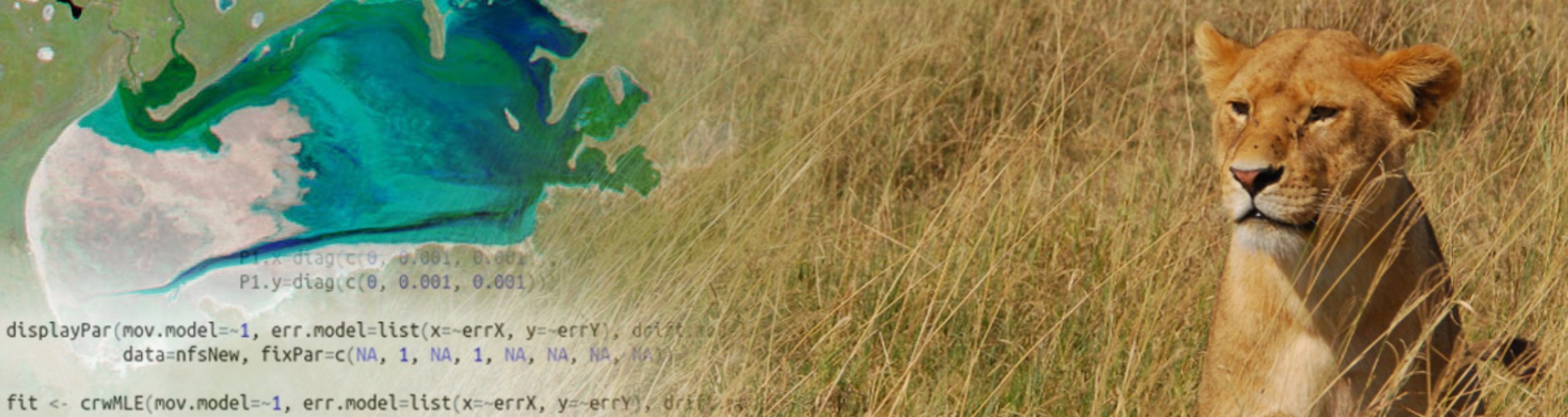
Flack et al. “Earth Observation from two perspectives – combining space borne animal tracking and environmental monitoring – a case study on storks and cities.”
-
Schweiger et al. “Modelling forage resources with airborne imaging spectroscopy: Implications for ungulate and ecosystem conservation”
-
Fretwell “Satellite remote sensing of baleen whales; status and prospects”
-
Martinez-Lopez “eHabitat: Modelling of habitats types and similarities in protected areas globally by means of remote sensing”
-
Szantoi et al. “Biodiversity knowledge and loss of natural vegetation in protected areas in Sub-Saharan Africa”
-
Velasco Gomez “A long-term perspective on deforestation rates in the Brazilian Amazon”
-
Palumbo et al. “Understanding the role of vegetation fires in land cover change dynamics in Eastern Africa”