Lee et al. describe a statistical modelling approach to estimate forest extent trends in a Wildlife Santuary in Myanmar over a 19 year period (1999 – 2018). They derive a dense time-series of classified maps using all Landsat imagery for the time period and show how quantitative estimates of uncertainty (an important reporting information for scientists and policymakers) can be obtained.
In their paper, they show how their approach aims to:
- quantitatively estimate ecosystem extent and trend while addressing known sources of uncertainty
- identify covariates that influence extent estimates obtained
from each image - report statistical significance and effect sizes of these covariates
without using any additional validation data besides reference training data.
To access the paper please follow this link. For those interested in the abstract, see below.
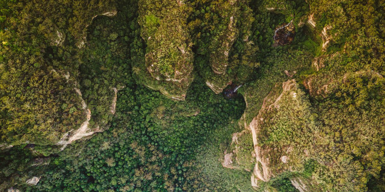
“Quantifying trends in ecosystem extent is essential to understanding the status of ecosystems. Estimates of ecosystem loss are widely used for tracking progress towards conservation targets, monitoring deforestation, and identifying ecosystems undergoing rapid change. Satellite remote sensing has become an important source of information for estimating these variables, owing to a near-continuous record of changes of the Earth’s land cover since the 1970s and comprehensive coverage of Earth’s natural environments. Despite the regular acquisition of satellite data over time, many studies of change in ecosystem extent use only static ‘snapshots’, discarding considerable amounts of data in the process. This approach requires perfect images and limits the ability to explicitly estimate trend uncertainty and significance. Assessing the accuracy of multiple snapshots also requires time-series reference data which is often very costly and sometimes impossible. Here we describe a new method of estimating trends in ecosystem extent that uses all available Landsat satellite imagery. We applied statistical models to dense time-series of classified maps, explicitly accounting for covariates that affect extent estimates. We demonstrate this approach with a case-study of rapid deforestation within the Hukaung Valley Wildlife Sanctuary, Myanmar, where widespread clearing for mining is heavily impacting the lowland rainforest ecosystem. We applied a Generalised Additive Mixed Model to extent estimates from more than 650 Landsat image classifications (1999 – 2018) and detected a significant decline of forest extent at a rate of 0.274 ± 0.078% per year as forest extent declined from 91.70 ± 0.02% of the study area in 1999 to 86.52 ± 0.02% in 2018. Our approach improves estimated trend of ecosystem loss, enables the identification of significant trends over time, reduces the need for extensive reference data through time, while provideing quantitative estimates of uncertainty. Article impact statement: Dense time-series satellite data can be used to estimate ecosystem-extent trends and quantifies uncertainty to support informed decisions.”
Lee, Calvin K. F.; Nicholson, Emily; Duncan, Clare; Murray, Nicholas J. (2020): Estimating changes and trends in ecosystem extent with dense time-series satellite remote sensing. In Conservation biology : the journal of the Society for Conservation Biology. DOI: 10.1111/cobi.13520 .