
- publication
- workshops
- conferences
- data
- job
- training

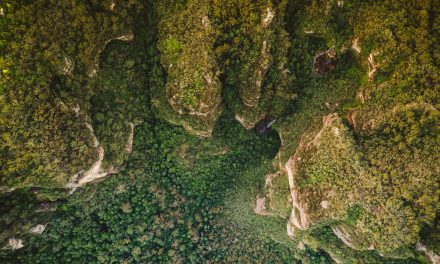
In light of the International Day of Forests: Earth Observation Based Monitoring of Forests in Germany – A Review
Today – 21st of March – is the International Day of Forests! Now, what other day would be...


Webinars on Supporting Implementation of the Post-2020 Global Biodiversity Framework
A series of regional webinars to support the implementation of the Post-2020 Global Biodiversity...

GEO BON Open Science Conference & All Hands Meeting 2020
A 100 % virtual open science conference organised by GEO BON that aims to bring together all those...
New Version of the Management Effectiveness Tracking Tool: METT-4
For those of you actively involved in tracking and reporting on the progress towards the...
Various Scientific Project Officer Positions at JRC
The European Commission’s in-house science service, the Joint Research Centre (JRC), is...

Webinars on Supporting Implementation of the Post-2020 Global Biodiversity Framework
A series of regional webinars to support the implementation of the Post-2020 Global Biodiversity...
Missing News? Let us know!
All
Popular
NATURE article: Define biodiversity indicators from space
A new NATURE piece on biodiversity indicators from space just got published. The article stresses...
All
Top Rated
Workshop for Prioritizing Essential Biodiversity Variables derived from EO
Aim: An overarching goal of GEO BON is to promote more efficient ways of sharing, producing and...
read all news:

Webinars on Supporting Implementation of the Post-2020 Global Biodiversity Framework
A series of regional webinars to support the implementation of the Post-2020 Global Biodiversity...
Read More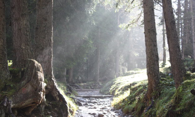
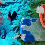
In light of the International Day of Forests: Earth Observation Based Monitoring of Forests in Germany – A Review
Today – 21st of March – is the International Day of Forests! Now, what other day would be...
Read More
New Version of the Management Effectiveness Tracking Tool: METT-4
For those of you actively involved in tracking and reporting on the progress towards the...
Read More
Various Scientific Project Officer Positions at JRC
The European Commission’s in-house science service, the Joint Research Centre (JRC), is...
Read More
PHD POSITION ON Determining the Effectiveness of Different Conservation Area Types for Meeting Global Biodiversity Targets
Professor Bob Smith is offering an interesting PhD studentship focusing on the collection of...
Read More
Environmental destruction not avoided with the Sustainable Development Goals
The Sustainable Development Goals (SDGs) were developed as a blueprint for a more sutainable and...
Read More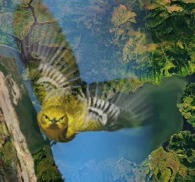
PostDoc: Accelerating IUCN Red List assessments for rapid and effective biodiversity monitoring
iDiv is looking for a PostDoctoral Researcher to join their project “Accelerating IUCN Red...
Read More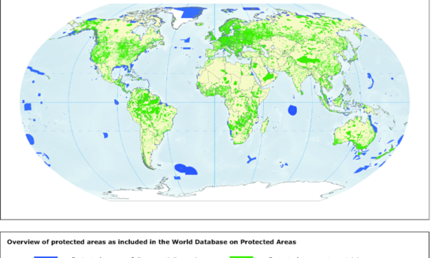
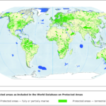
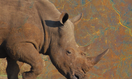
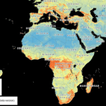
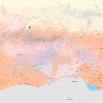
Land productivity dynamics in and around protected areas globally
A recent publication by de la Fuente et al. (2020) reveales that land productivity has dropped or...
Read More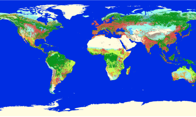
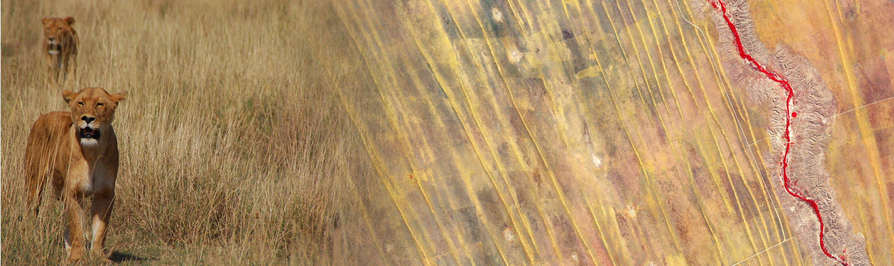
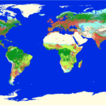
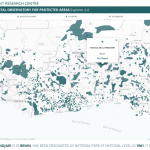
A global map of terrestrial habitat types
Jung et al. (2020) describe a method to map the IUCN habitats classification scheme directly for...
Read More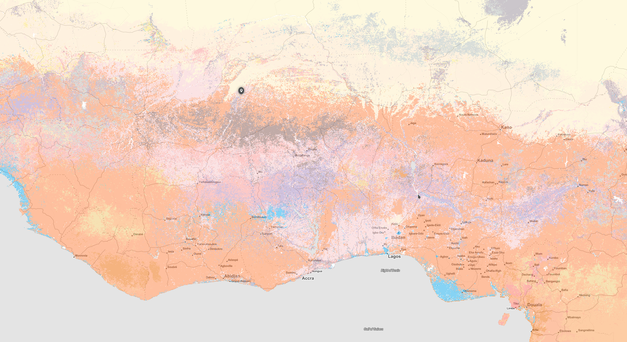
Postdoctoral position: integrated proximal and remote sensing of soil
OpenGeoHub is looking for a postdoctoral researcher to join their team to work on current and...
Read MoreOpen call for the nomination of the GEO BON co-chair
GEO BON has opened a nomination process for its co-chair that will serve a mandate of at least 3...
Read More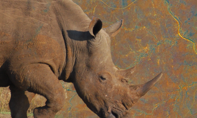
postdoc on Megafauna complexity as a global driver of vegetation diversity – an integrative macroecology-remote sensing study
An interesting 2-yr postdoc position is available as part of the research project “Megafauna...
Read More