Satellite remote sensing is an important tool for improving our understanding of biodiversity condition and trends, along with drivers of biodiversity change. It is also increasingly a management tool for biodiversity conservation.
We will emphasize the dual potential of remote sensing for biodiversity research and conservation applications in two synergistic sessions. Our aim is to highlight the linkages between the communities and demonstrate the potential to integrate remote sensing science into the full spectrum of biodiversity research and conservation applications.
The sessions will focus on the use of remote sensing for many topics, including:
- characterizing biodiversity patterns
- examining changes in biodiversity patterns
- providing links between the processes driving biodiversity patterns
- highlighting areas of land cover change that are priority areas for conservation action
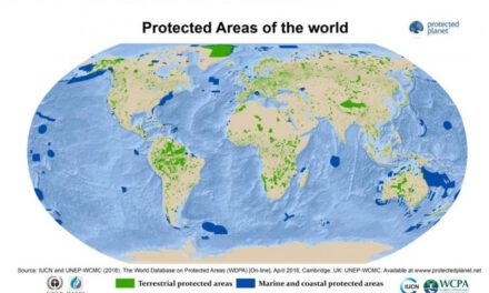
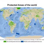
- designing marine and terrestrial protected areas
- assessing conservation success
- estimating the potential for the reintroduction of species
- anticipating human-wildlife conflicts
Presentations outlining collaborations of remote sensing and biodiversity/conservation researchers are encouraged, especially those showing the potential of joint efforts.
We will soon update this webpage with the speakers of this special session
The special session on “Biodiversity and Conservation” is organized and will be chaired by Matt Hansen, Martin Wegmann, Woody Turner and Allison Leidner
