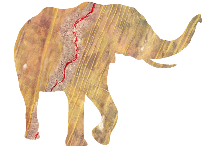
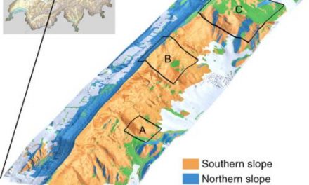
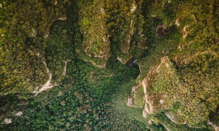
 WWF-UK just released free guidelines to support practitioners and scientists interested in using satellite remote sensing data to inform their project or support the management of their landscape.
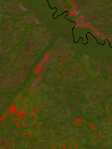
This latest chapter in the Conservation Technology Series, co-authored by Nathalie Pettorelli, Henrike Schulte to Buehne, Aurelie Shapiro and Paul Glover-Kapfer, specifically looks at the opportunities, challenges and state-of-the-art of satellite remote sensing for conservation applications. This issue also reviews available satellite imagery and derived datasets, a comprehensive guide to data sources, common processing workflows and case studies.
The guidelines have been written so as to avoid jargon and necessary technicalities – focusing on the common questions and issues raised as one begins to manipulate satellite data. The intended audience thus primarily encapsulates ecologists and conservation biologists with little to no experience of satellite data manipulation.
The guidelines can be downloaded for free here.
