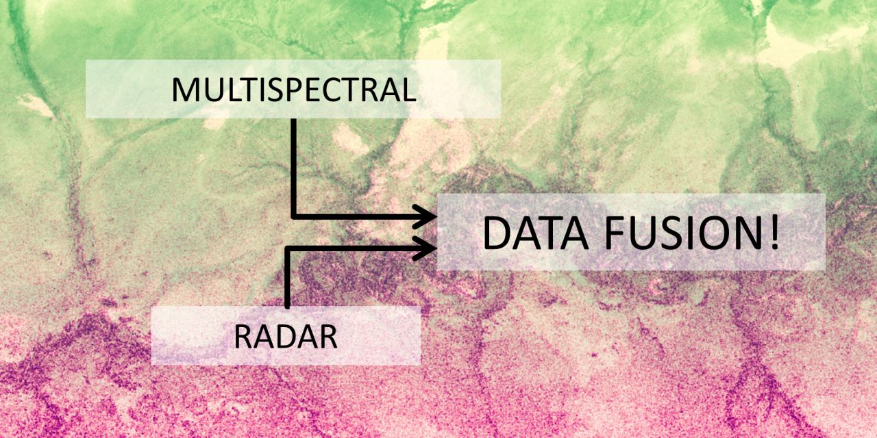
Multispectral and radar satellite remote sensing data have been part of ecologists’ and conservation scientists’ toolboxes for decades, but they have (so far) been mainly used separately. A review recently published in Methods in Ecology and Evolution (http://bit.ly/2jkgof5) now argues that systematically combining these two data types can yield significant benefits when observing biodiversity from space.
Discussing a wide range of case studies, the authors highlight that fusing multispectral and radar data can help map species distributions, ecosystem structure, ecosystem function and threats to biodiversity more accurately.
The review provides an introduction to the most common types of satellite data fusion, namely image fusion, object-level fusion and decision-level fusion. It also provides examples for open-source satellite data and software which enables interested readers to explore the different methodologies themselves.
The availability and accessibility of satellite remote sensing data continues to grow, as well as the computing capacity and expertise among ecologists and conservation scientists. Adding satellite data fusion to this mix is likely an important step towards leveraging the full potential of the “remote sensing toolbox” for addressing the challenges of large-scale biodiversity monitoring.