The Global Observation of Forest Cover and Land Dynamics (GOFC-GOLD) Land Cover Project Office and the GEO BON in cooperation with CEOS (CEOS Biodiversity) have started an initiative aimed to develop a sourcebook on biodiversity monitoring in tropical forests. Our objective is to provide the tropical forest biodiversity monitoring community with a living document (updated every year) that reports on the methods and standards on the use of remote sensing data associated with field information, in the context of the United Nations conventions (UNCBD, UNFCCC). The first (by invitation only) workshop will be organized as a side-event at the RS for Conservation Symposium*, on May 24, 2014.
Surveys have indicated a relatively low use of remote sensing data for biodiversity monitoring and conservation purposes, particularly in developing countries. The development of a sourcebook of methods and procedures for monitoring biodiversity in forested areas in association with the REDD+ mechanism can be a means to address this issue. The main reasons for starting such an initiative are:
- to increase visibility and recognition of the issue of biodiversity loss,
- to promote use of remote sensing data associated with field information for biodiversity monitoring in tropical forests,
- to support capacity development initiatives and awareness on use of RS-based technologies,
- to provide up-to-date scientific and technical guidance on how to use RS-based technologies for biodiversity monitoring,
- to address the need for a living document that is a reference manual (regularly updated),
- to promote standardized and harmonized monitoring methods to facilitate inter-comparisons between projects,
- to demonstrate to policy-makers that RS-based technologies can help meet the reporting requirements from international initiatives on biodiversity monitoring such as CBD, or IPBES, and
- to foster long-term synergies between the remote sensing and biodiversity/ conservation communities.
The inception workshop will be organized as a side-event of the Symposium “Remote Sensing for Conservation” at ZSL in London on May 24, 2014 in London, UK. This workshop will gather key experts willing to contribute to the development of the sourcebook, with the following objectives:
- Overall context of the sourcebook (UN Conventions, …),
- Discuss the details of the document (key biodiversity indicators to monitor, focus level, structure),
- Refine the first outline accordingly,
- Discuss the level of detail with respect to the target audience,
- Assign leaders for the development of the different sections of the document,
- Agree on the time schedule for the completion of Phases 2 and 3, and
- Discuss opportunity to establish a R&D Plan to address gaps and needs.
Particular attention will be paid to:
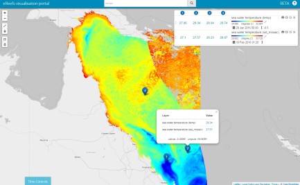
- Identifying the gaps and needs in the current literature in the domain of biodiversity monitoring in (sub-) tropical forest areas. Consider the outcomes of the survey on the use of remote sensing data for biodiversity monitoring and conservation run by Martin Wegmann’s team.
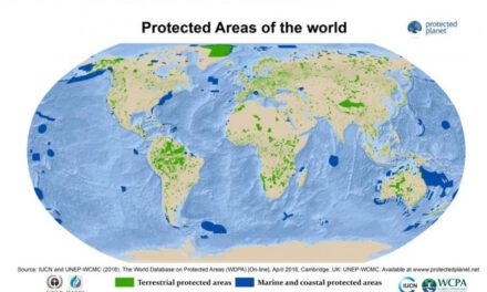
- Considering similar past and present initiatives (e.g., CBD Technical Report #32 and GEO Handbook), and the complementarity of the documents.
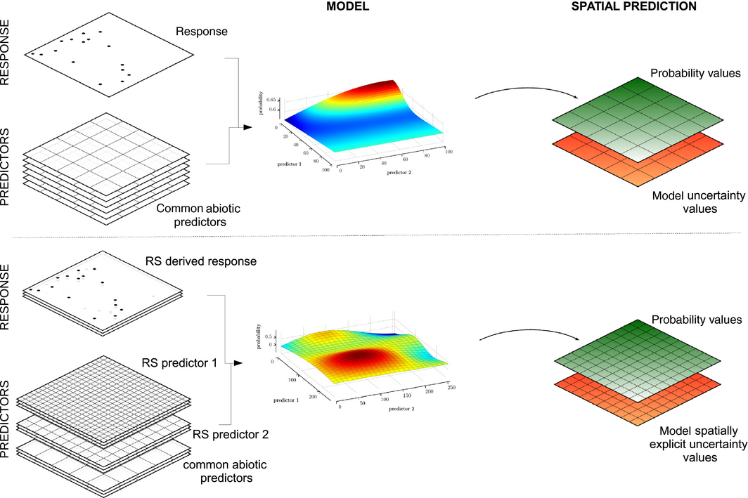
- Setting appropriate scope of the sourcebook. To date: present and discuss remote sensing and in-situ techniques for biodiversity monitoring in tropical forests. Needs for the development of indicators for the UNCBD Aichi Targets, associated EBVs and REDD+ policy will be considered.
- Promoting standards and good practices in land cover mapping, including land cover change
- Developing and refining the first outline of the sourcebook. See first outline in the Annex.
- Considering the establishment of a R&D Plan to address the gaps and needs identified in the literature review and surveys.
Steering committee:
- Brice Mora (GOFC-GOLD) – point of contact: brice.mora@wur.nl
- Jörg Freyhof (GEO BON)
- Martin Wegmann (CEOS Biodiversity)
- Rob Jongman (Wageningen Univ.)
- Marc Paganini (ESA)
- Mike Gill (GEO BON, Environment Canada)
Participants:
- Woody Turner (NASA)
- Nathalie Pettorelli (ZSL)
- Graeme Buchanan (Royal Society for the Protection of Birds)
- Richard Lucas (U. of New South Wales)
- Simon Lewis (U. of Leeds)
- Alvaro Espinel (EcoSynapsis)
- more to come