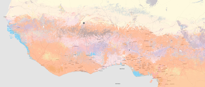
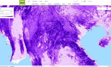
A global spatial soil information layer is available via www.soilgrids.org and has been published by Tomislav Hengl and colleagues in PLOSone. The information is derived through the combination of soil profiles remote sensing-based covariates primarily MODIS and DEM data. from the about: SoilGrids is a system for automated soil mapping based on global soil profile and environmental covariate data. SoilGrids represents a collection of updatable soil property and class maps of the world at 1 km and 250 m spatial resolution produced using automated soil mapping based on machine learning algorithms. It aims at becoming OpenStreetMap and/or OpenWeatherMap for soil data. SoilGrids predictions are updated on a regular basis (at least every few months). For more details about the SoilGrids system, please refer to the SoilGrids project site. To access SoilGrids on your mobile phone, consider downloading the SoilInfo App. The predictions available for download at www.soilgrids.org are presently of limited thematic and spatial accuracy and still contain artifacts and missing pixels. See also the general ISRIC data and software policy. If you require more detailed soil property maps or soil maps of significantly higher accuracy, please consider contacting national or regional soil survey / soil data agencies for the responding area of interest. For an overview of national and regional soil databases, please refer to the Soil Geographic Databases compendium by David G. Rossiter; or consider contacting: the Global Soil Partnership at FAO.
global soil data: SoilGrids