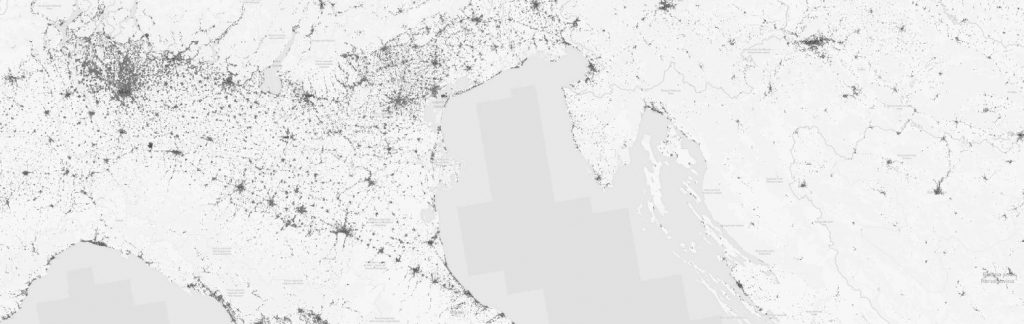
Most researchers in the need of open source data such as on land cover and land use, soil properties, vegetation indices etc. will eventually stumble over them: The OpenGeoHub Foundation and their OpenStreetMap-type data portal OpenLandMap for land-environmental related data.
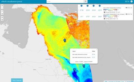
For those of you who are so far not too familiar with the LandGIS System and its great web-mapping App, here comes a short overview of the data it entails.
In general, some main goals are to promote production, sharing and use of Open GeoData; provide all users (from researchers to decision makers) with trustworthy, fully documented, peer-reviewed and reproducible environmental data; provide help with publishing data (data preparation, production and hosting) following Open Geospatial Consortium (OGC) and metadata standards and to push forward collaborations and open source publications.
Main thematic fields and datasets included in the LandGIS are:
- relief/geology
- land cover, land use and administrative data (e.g. including Nightlight changes, historic cropland evolution)
- topography
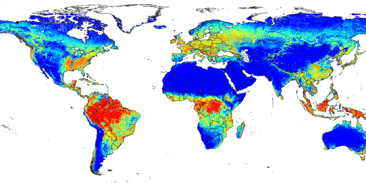
- vegetation indices
- soil properties and classes
- land degradation indices
- climatic layers
- potential natural vegetation
- hydrology and water dynamics
Data can be viewed and downloaded via the App. You can also publish your own global layer (e.g. environmental layers at resolutions from 100 m to 1 km for a global land mask) or help make better Open GeoData by contributing your own training data to LandGIS. For more information, visit: https://opengeohub.org/.