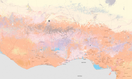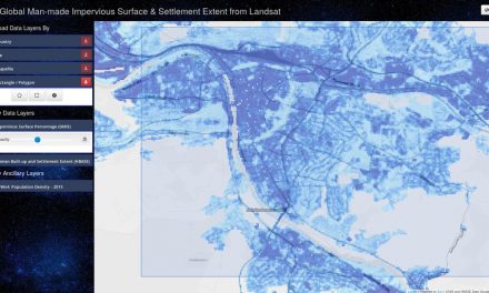
The Nature Map project, a consortium formed by the International Institute for Applied Systems Analysis (IIASA), the Instituto Internacional para Sustentabilidade (IIS), the UN Sustainable Development Solutions Network (SDSN), and the UN Environment Programme World Conservation Monitoring Centre (UNEP-WCMC), have launched a new platform that provides a set of integrated global maps on biodiversity and ecosystems services based on the best available scientific data.
Layers currently available on the geoportal include
- Terrestrial habitat types
- Potential natural vegetation
- Human impact on forests
- Biomass carbon density
- Vulnerable soil organic carbon density
- Total vulnerable carbon density
- Realized clean water provision
- Human pressure
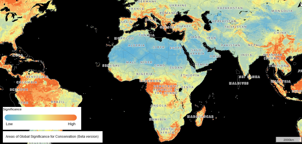
- Areas of global significance for conservation
The goal of the project is to provide up-to-date maps available to support the design of policies addressing biodiversity conservation, climate change mitigation and potentially also other ecosystem services. The data is freely accessible via the UN Biodiversity Lab.
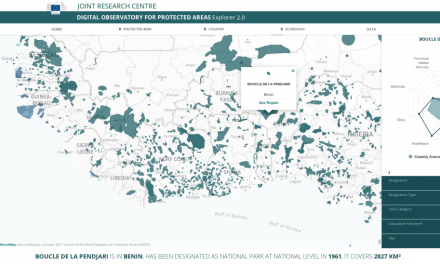
The geoportal is specifically designed to allow potential users to explore and provide feedback on the maps. If you would like to provide feedback, you simply have to register as user and you will be able to give feedback on a) whether in your opinion the map accurately reflects the reality, b) how in your oppinion the layer can be useful to inform government policies, actions and plans in your country, and c) how the layer could be improved to increase its utility to better inform government, policies, actions and plans in your country. In case you have data that could improve the map, you can attach the dataset to your feedback.
A great opportunity to help improve and provide open source datasets that may act as valuable decision support tool for countries that would like to identify areas where conservation and restoration actions are most needed.