special session: “Ecology and Conservation” at ISRSE 2017
The International Symposium on Remote Sensing of Environment (ISRSE) will take place next year in Tshwane (Pretoria), South Africa 8-12 May 2017 under the overarching theme “Earth Observation for Development and Adaptation to a Changing World” A special session on...
special session “Earth Observation for Protected Area Monitoring and Management”
The 37th International Symposium on Remote Sensing of Environment, hosted by the South African National Space Agency, will convene in Pretoria (Tshwane, South Africa) between 8-12 May 2017. The overarching theme of ISRSE 2017 is “Earth Observation for Development and...

open call: special issue on UAVs/drones in ecology
The RSEC journal (www.rsecjournal) announced a new special issue on remotely piloted aircraft system applications in conservation and ecology (aka UAV or drones). Remotely piloted aircraft systems (RPAS) are increasingly being used to conduct remote sensing research...
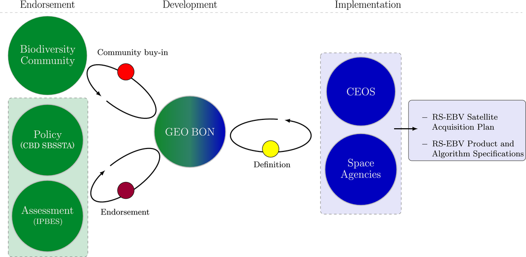
article: the role of space agencies in remotely sensed essential biodiversity variables
A new article on the role of space agencies in remotely sensed essential biodiversity variables is published in the Remote Sensing in Ecology and Conservation special issue on RS-EBVs. From the abstract: “The Group on Earth Observations Biodiversity Observation...
GlobDiversity ESA call
ESA Call for Bids on GlobDiversity for the development of remotely-sensed Essential Biodiversity Variables (RS-EBVs) on terrestrial ecosystems The European Space Agency has issued on the 29th July 2016 an invitation to tender for the GlobDiversity project, with an...
Free LiDAR data for some UK cities
The UK Environment Agency released a few hundred gigabytes of LiDAR data that provides information about building heights in some cities in England. Such data might be relevant for ecological urban studies and can be downloaded from here:...
new 30m landcover data available
When you use Google services, you trust us with your information. This Privacy Policy is meant to help you understand what data we collect, why we collect it, and what we do with it. This is important; we hope you will take time to read it carefully. And remember, you...
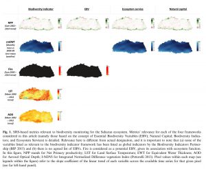
How do we want Satellite Remote Sensing to support biodiversity conservation globally?
A publication by Pettorelli, Owen and Duncan asks "How do we want Satellite Remote Sensing to support biodiversity conservation globally?" in Methods in Ecology and Evolution. from the summary: 1. Essential Biodiversity Variable, Natural Capital, Biodiversity...
Forest cover and forest cover pattern data by JRC
The EU-JRC forest branch provides various forest cover maps and forest cover pattern maps for download. All data sets can be downloaded for Europe for different years: http://forest.jrc.ec.europa.eu/download/data/ Additionally, various related software packages are...
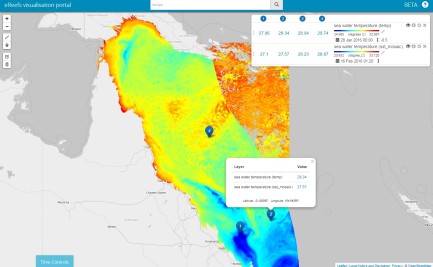
Data and Information for Reefs
eReefs is an information system that provides a picture of what is currently happening on the reef, and what will likely happen in the future. Visualisations as well as data and models including remote sensing data and background are provided. check out the news and...
Martin Wegmann is based at the remote sensing department of Prof. S. Dech, head of DLR-DFD (German Aerospace Data Center) in Würzburg where he leads the Remote Sensing and Biodiversity research topic. Moreover he is an assistant professor at the Global Change Ecology M.Sc. Program and the point of contact for the CEOS Biodiversity initiative, which aims at coordinating space borne activities for biodiversity and conservation related activities. Moreover he is on the steering committee of the Conservation Remote Sensing group, advisory board of the EU BON project and Implementation Committee in GEO BON.
In his courses the theoretical background as well as the practical implementation of remote sensing for biodiversity research and conservation application are taught. The remote sensing data analysis as well as the integration with biodiversity data and the spatial statistics including spatial modelling are mainly done with OpenSource software such as R and GRASS. The majority of courses are done within the Global Change Ecology MSc. program but other courses have been done in Würzburg as well as in different locations in West Africa.
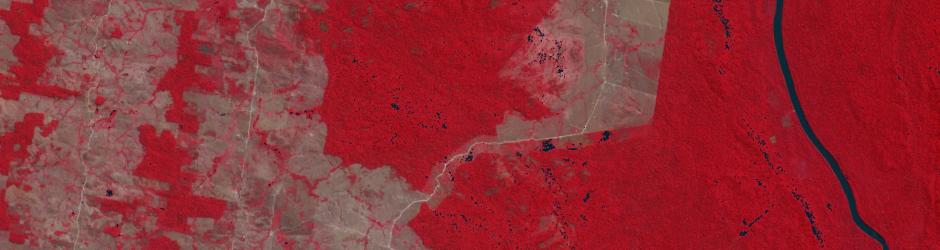
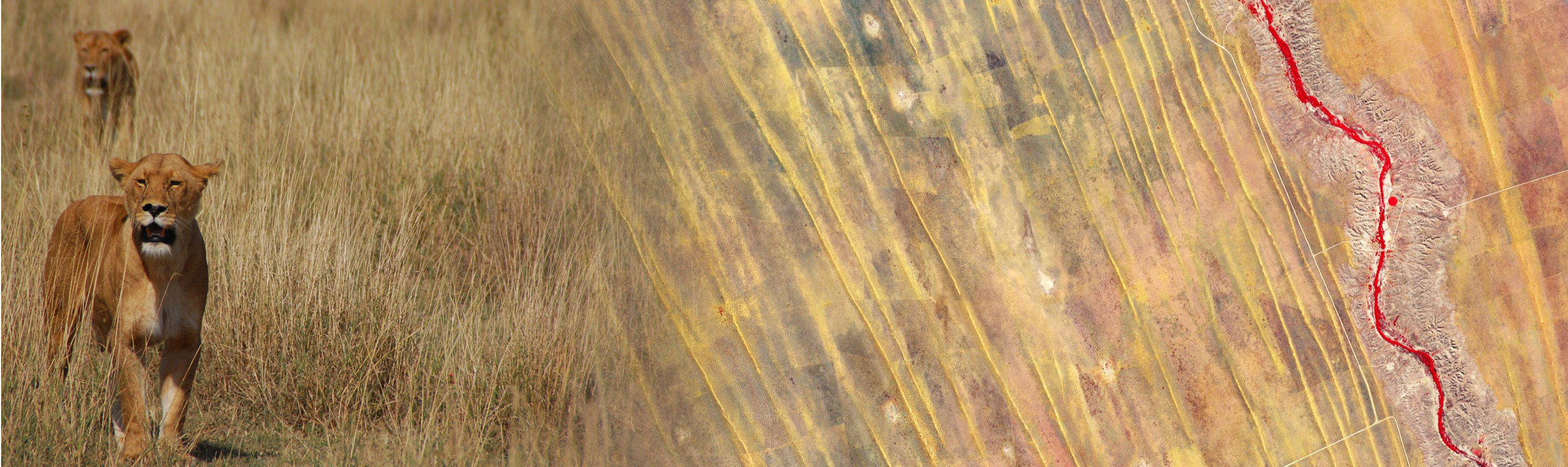
The added value of spatial and temporal variable environmental data sets for corresponding biodiversity modelling approaches are in the focus of his work. Especially the spatial arrangement of landcover and its implication for spatial biodiversity patterns based on remotely sensed information interests him. Most of his work has been done in Europe and Africa.
infos
doing stuff
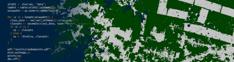
- R since 2002
- GRASS since 2002
- Linux since 2002
- name
- name
- OpenSource usage 90%
- 0%
My Recent Work
portfolio