special issue on remote sensing for protected area monitoring
Special Issue in Remote Sensing in Ecology and Conservation Novel Remote Sensing Approaches to Inform the Ecology and Conservation of Protected Areas Worldwide Remote sensing techniques provide a formidable opportunity to inform the management of protected areas,...

Conference on Space Technology and Applications for Wildlife Management and Protecting Biodiversity
Conference on Space Technology and Applications for Wildlife Management and Protecting Biodiversity 27-30 June 2016, United Nations Office at Nairobi, Nairobi, Kenya The protection and conservation of biodiversity and ecosystems, cornerstones of sustainable...
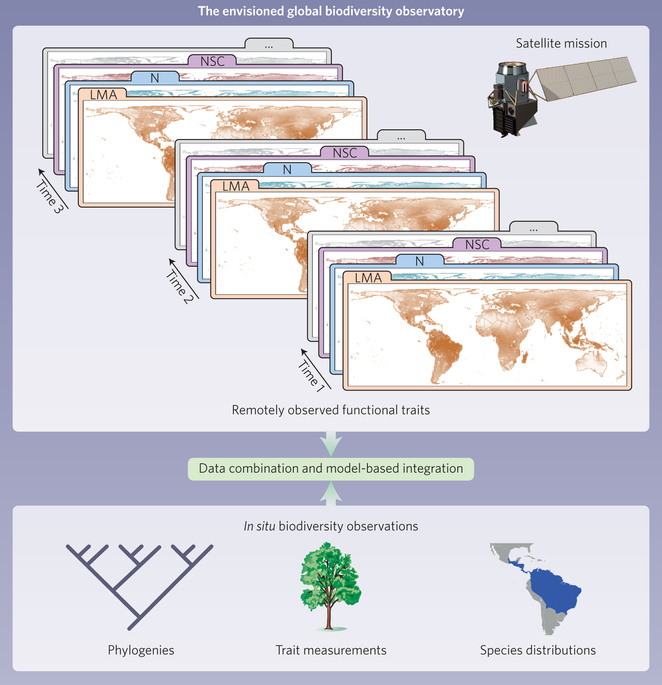
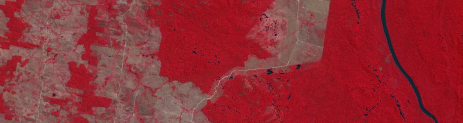
article: Monitoring plant functional diversity from space
A highly interesting article by Jetz and colleagues got just published in Nature Plants dealing with the importance of remotely sensed environmental monitoring for plant functional diversity. The world's ecosystems are losing biodiversity fast. A satellite mission...
agenda online of the conference: Space – the final Frontier for Biodiversity?
the agenda of the conference “Space – the final frontier for biodiversity monitoring” at ZSL in London is now finalised and all talks are listed. Space – the final frontier for biodiversity monitoring? 29 April 2016, ZSL, London 8.30 REGISTRATION OPENS 9.00 Welcome...
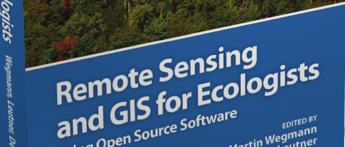
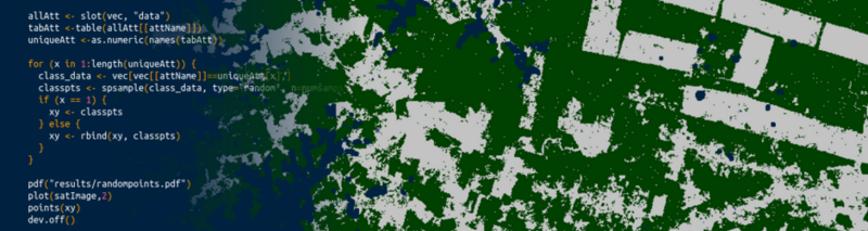
“Remote Sensing and GIS for Ecologists – Using Open Source software” book
The book “Remote Sensing and GIS for Ecologists – Using Open Source software” provides the background as well as working examples how to apply remote sensing within ecological research. All practical examples in this book rely on OpenSource software and freely...
ESA LPS program online
the ESA Living Planet Symposium list of talks and sessions is online and can be accessed here: http://lps16.esa.int/page_programme_overview.php The registration is also opened now. At least three sessions are focusing on "Remote Sensing and Biodiversity" namely:...
Space – the final frontier for biodiversity monitoring?
This symposium will bring together leading experts in biodiversity monitoring and satellite remote sensing to discuss ways to better capitalise on this technology to monitor biological diversity globally. Societal, economic and scientific interests in mapping...
GEO BON Open Science Conference 2016
The GEO BON Open Science Conference & All Hands Meeting will be a major event to bring together all of those interested in developing biodiversity monitoring programs, biodiversity observations research, and sound biodiversity management. The first 2½ days will be...
PhD: Monitoring biodiversity from remote sensing
The Department of Natural Resources (NRS) specialises in advanced spatial and temporal analysis and technique development for the environment as well as sustainable agriculture. The NRS Department is looking for a PhD Candidate (Promovendus), fulltime: Monitoring...
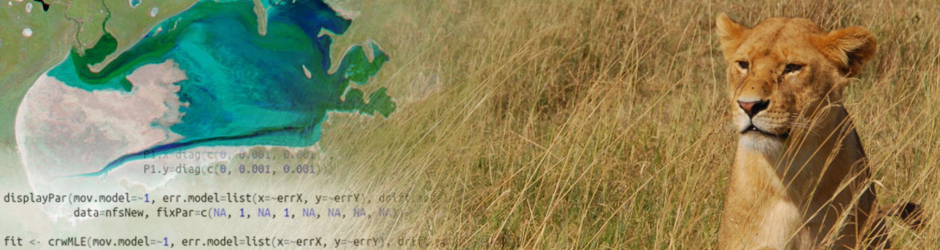
AniMove summerschool 2016
The AniMove summerschool in 2016 takes place in Germany, Lake Konstanz at MPI-O. Animal movement is critical for maintenance of ecosystem services and biodiversity. The study of complex movement patterns and of the factors that control such patterns is essential to...
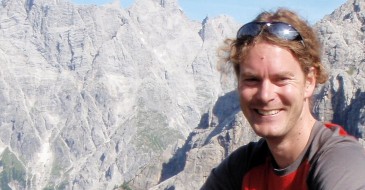
Martin Wegmann is based at the remote sensing department of Prof. S. Dech, head of DLR-DFD (German Aerospace Data Center) in Würzburg where he leads the Remote Sensing and Biodiversity research topic. Moreover he is an assistant professor at the Global Change Ecology M.Sc. Program and the point of contact for the CEOS Biodiversity initiative, which aims at coordinating space borne activities for biodiversity and conservation related activities. Moreover he is on the steering committee of the Conservation Remote Sensing group, advisory board of the EU BON project and Implementation Committee in GEO BON.
In his courses the theoretical background as well as the practical implementation of remote sensing for biodiversity research and conservation application are taught. The remote sensing data analysis as well as the integration with biodiversity data and the spatial statistics including spatial modelling are mainly done with OpenSource software such as R and GRASS. The majority of courses are done within the Global Change Ecology MSc. program but other courses have been done in Würzburg as well as in different locations in West Africa.
The added value of spatial and temporal variable environmental data sets for corresponding biodiversity modelling approaches are in the focus of his work. Especially the spatial arrangement of landcover and its implication for spatial biodiversity patterns based on remotely sensed information interests him. Most of his work has been done in Europe and Africa.
infos
doing stuff
- R since 2002
- GRASS since 2002
- Linux since 2002
- name
- name
- OpenSource usage 90%
- 0%
My Recent Work
portfolio