Category: data
Nature Map Explorer – a platform for terrest...
Posted by Alexandra Bell | Mar 13, 2020 | data | 0 |
A data portal for open source data: OpenLandMap
Posted by Alexandra Bell | Mar 4, 2020 | data | 0 |
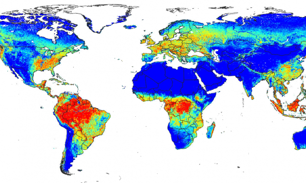
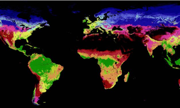
new global data for biodiversity analysis
Posted by Remote Sensing Biodiversity | Jan 7, 2019 | data | 0 |
Free, open access to higher resolution satellite i...
Posted by Graeme Buchanan | Jul 16, 2018 | data, publication | 0 |
Global Forest Biodiversity Conservation Intactness
Posted by Remote Sensing Biodiversity | May 2, 2018 | data | 0 |
New Version of the Management Effectiveness Tracking Tool: METT-4
by Alexandra Bell | Jan 25, 2021 | data, news | 0 |
For those of you actively involved in tracking and reporting on the progress towards the...
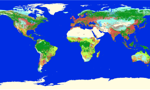
Read MoreA global map of terrestrial habitat types
by Alexandra Bell | Aug 12, 2020 | data, featured | 0 |
Jung et al. (2020) describe a method to map the IUCN habitats classification scheme directly for...
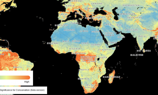
Read MoreNature Map Explorer – a platform for terrestrial biodiversity and ecosystem services
by Alexandra Bell | Mar 13, 2020 | data | 0 |
The Nature Map project, a consortium formed by the International Institute for Applied Systems...
Read MoreA data portal for open source data: OpenLandMap
by Alexandra Bell | Mar 4, 2020 | data | 0 |
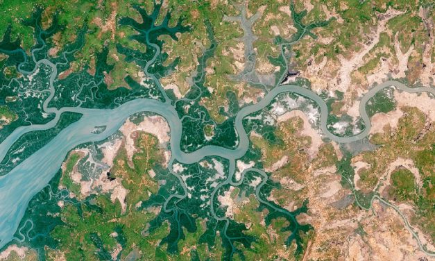
Most researchers in the need of open source data such as on land cover and land use, soil...
Read Morenew global data for biodiversity analysis
by Remote Sensing Biodiversity | Jan 7, 2019 | data | 0 |
DHIs, global environmental data for biodiversity analysis
Read MoreFree, open access to higher resolution satellite images is a societal good
by Graeme Buchanan | Jul 16, 2018 | data, publication | 0 |
For many years, the cost of higher resolution satellite images was prohibitive to conservationists. At around $1000 per scene, Landsat represented the best option for many, but this meant the number of scenes that could be used, or the frequency of monitoring was limited.
Read MoreGlobal Forest Biodiversity Conservation Intactness
by Remote Sensing Biodiversity | May 2, 2018 | data | 0 |
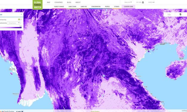
Based on the well known Global Forest Change product by Matt Hansen further highly relevant...
Read MoreGlobal Hydrologic Soil Data for Runoff Modeling
by Remote Sensing Biodiversity | Mar 29, 2018 | data | 0 |
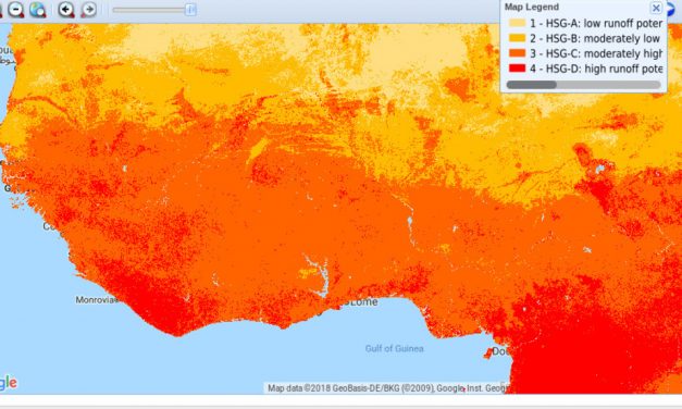
A hydrological soil data set for runoff modeling is available online by EartData. From their...
Read Moreman-made impervious surface and settlement layers
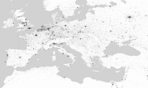
by Remote Sensing Biodiversity | Mar 29, 2018 | data | 0 |
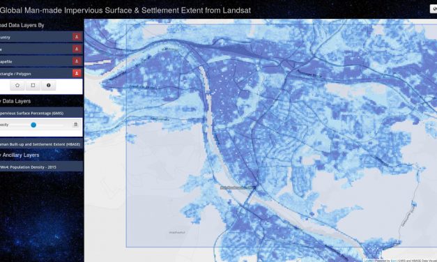
The a Data Center in NASA’s Earth Observing System Data and Information System (EOSDIS)...
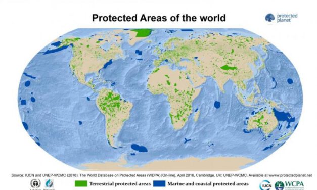
Read MoreDOPA – the most advanced global information system on protected areas.
by Gregoire Dubois | Feb 19, 2018 | data, news, publication | 0 |
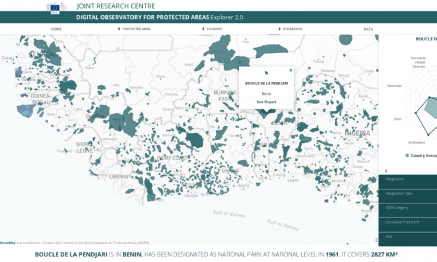
The Joint Research Centre (JRC) of the European Commission has launched the second version of the...
Read MoreRemap – an online remote sensing app for making maps of ecosystems & landcover
by Nathalie Pettorelli | Feb 9, 2018 | data, news | 0 |
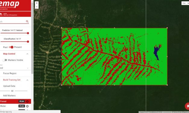
The IUCN Red List of Ecosystems initiative has recently developed an online remote sensing app...
Read Morearticle: Breaking new Ground in Mapping Human Settlements from Space
by Remote Sensing Biodiversity | Nov 17, 2017 | data, publication | 0 |
Esch et al. published a new exciting article on “Breaking new Ground in Mapping Human...
Read More
